Plenty of mud and a security scare
Easter Sunday 1/4/18
Today’s distance 34.5k Total from Canterbury 34.5k
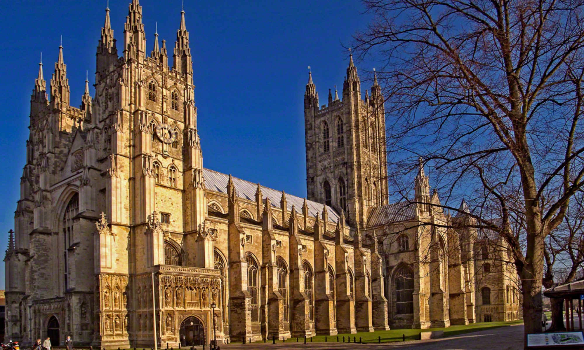
I began with Holy Communion in the Cathedral at 8am and it was quiet and reserved with few people and no noise. Afterwards I and Howie and Renata, a couple starting out on the Camino del Santiago, met with Canon Clare for a pilgrim blessing in the crypt which was moving and a good way to start. We had agreed to walk together today and I went to retrieve my bag from adjoining hotel. Afterwards, as I took this picture of the ‘zero marker’ I was asked firmly by a man in a black uniform to leave the property as I had breached security by leaving my rucksack unattended. And there was no discussion possible.

The route to Dover is exactly the same as the North Downs Way. I don’t know why the North Downs Way ends at the coast. I wonder where the South Downs way might be? It is therefore well enough waymarked, though you have to look quite closely at the rather small acorn signs. There are lots of wooden signposts too. And there are a lot of Via Francigena logos which, to my mind, are non-directional and therefore not as useful as they may have been.
It is a footpath and ‘the answer is in the clue’. See picture above. The footpath is simply where other people’s feet have trodden. At this early point I imagine in the season a certain amount of imagination was necessary to find the path. and two or three times I didn’t. Quite often it was across a newly sown field. When a field was ploughed, the footpath simply disappeared though I am sure that the right of way remains. A half inch of snow or even a heavy frost would have rendered many of today’s paths invisible.
And it was very muddy moreso over the last 10km.
Ifyou are planning to walk let me give you advice. DON’T GO TO SHEPHERDSWELL, unless you are staying the night. It is a diversion off the marked path. There is a Co-op supermarket which might be useful. If you go there I would advise going back 100m or so to a path climbing up now on your right which is indicating it will take you back to the NDW. I continued up the hill in the village from Co-op to The Bell Inn which was friendly enough but has no food. It is opposite a church. The problem is you have gone up quite a hill to get there and it is not clear how to get back to the NDW. So I wandered about a bit, following directions from Cicerone guide which were less than pellucid and required a trip across a field which had been ploughed with 20cm channels. I did find the NDW again but from here on in it was very very muddy.
I honestly didn’t like Canterbury or today’s path. Oh well. Ferry in the morning. I’m inclined to follow the advice of a correspondent and ‘shake the dust off my sandals’. Allons!


Things can only get better…
Shake the dust…remember Paul and Barnabas had it worse…and the trail to Antioch in Pisidia can be a real nightmare as I can attest.
Hope conditions improve
Hi Tim – Looking forward to following your journey. Much more relaxing to be on this end of the walking stick as it were! Good luck and be safe.
Thanks Joe. It was your own recent blog that inspired me to try blogging this time. A few teething problems, but getting there.
Hope this is useful and not irritatingly obvious or pedantic. The reason the North Downs Way ends at the coast is that the North Downs do the same. The South Downs are a separate chalk ridge which also stop at the coast at their eastern end but not in the same place. So the North and South Downs Ways are two completely separate paths, not two halves of the same route. Sorry if you did know this and I have misunderstood your puzzle!
I will be following. Bonne chemin.
Fantastic Bridget. Thanks. I was genuinely puzzled and you have resolved it for me!